
Hampshire County Property Value Types
Plenty of Hampshire County records attach a number to a parcel. The source of that number tells you what it means. The assessor card carries the annual assessment, with searchable land, building, and total appraisal ranges. Sales history records a past transaction. The deed is the instrument that documents the conveyance. None of it is a promised selling price. Treat each value as a record entry, not a quote from the market.
| Value | What It Is | Where |
|---|---|---|
| Assessment record | Tax value recorded for a parcel and year | Hampshire Assessor card / state search |
| Land assessment | Land component shown separately from structures | Assessor record and range filters |
| Building assessment | Building component and structure fields | Assessor record and range filters |
| Total assessment | Combined record value used in the tax system | Assessor card |
| Sale history | Recorded transfer-related price information | Assessor sale history and deed record |
West Virginia's materials offer no verified assessment ratio and no parcel-specific market value. So do not back into a sale price by adjusting a tax assessment. Read the date and source behind every number first. Then compare the deed and the card for the same legal description. Do that before trusting either figure.
Hampshire Assessor Value Fields
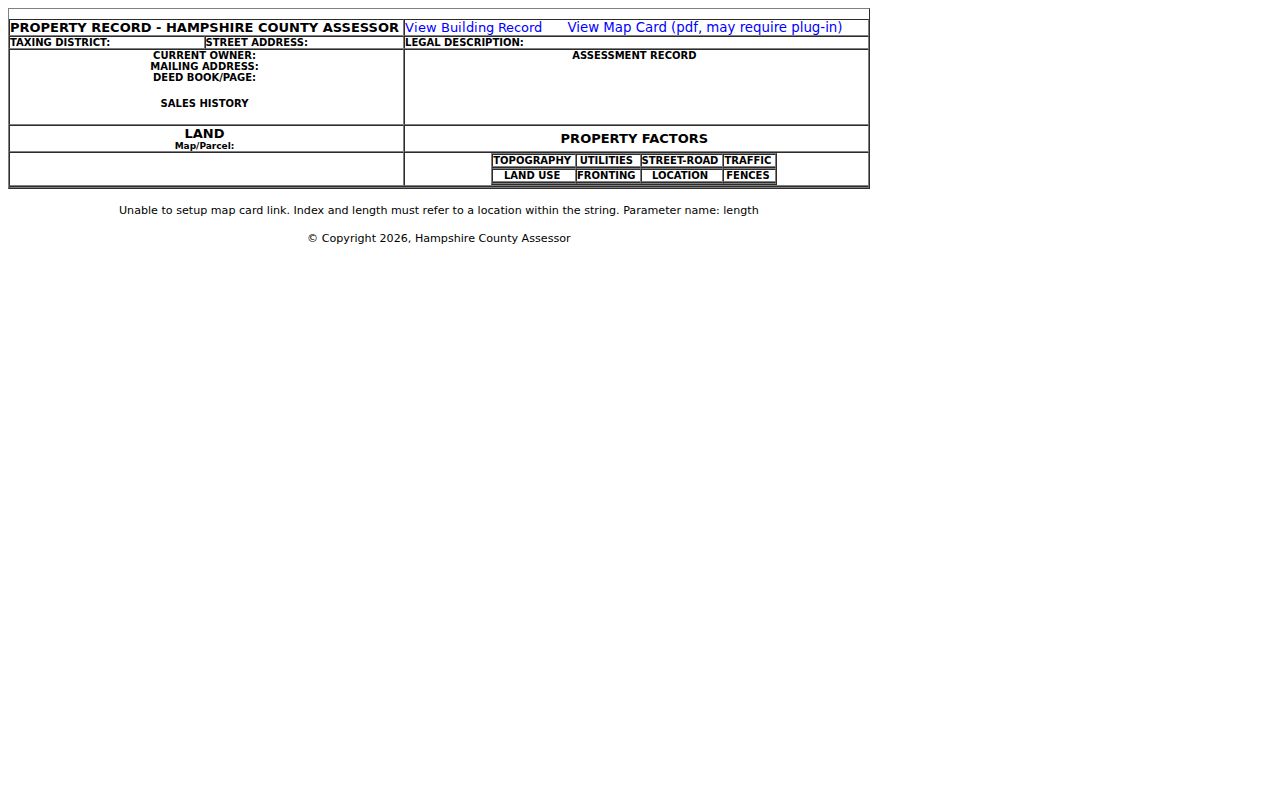
The statewide property search lets you filter by minimum and maximum appraisal amounts. Those cover land, building, and total figures. It also exposes sale-date and price ranges. You can see deed book and page, legal description, and mailing address too. Flood hazard, building year, and building area appear as well. The county card displays its assessment record, land figures, and property factors. You need a valid Hampshire parcel to see populated values. The card layout shows labels only until then.
Use the exact card date and the full parcel ID. A result sharing a road or owner name may sit in a different district. It could sit in a different tract entirely. The Hampshire County assessment card shows those field labels. That image is a record layout, not a live value example.
Read the assessment and the sales history separately before you set a Hampshire value beside any other record.
Hampshire Land and Building Values
The statewide form splits land from building appraisal ranges. The assessor card shows land and assessment records side by side. Those components explain how the tax record captures a rural tract and its structures. The property-factors area adds topography, utilities, road, traffic, land use, fronting, location, and fences. These fields describe features the record carries, not a private appraisal report.
Check that the card's acreage and legal description match the tract you are evaluating. Hampshire parcels are often rural, split, or keyed by route names. A gap in land value may reflect parcel scope or map data. Confirm the source before assuming the county changed its valuation method.
Hampshire Sale History and Price
The assessor card labels its sales history section plainly. The statewide search supports sale-date plus minimum and maximum price filters. A recorded sale price reflects one transaction at one point in time. The deed book and page, paired with the legal description, identify which property actually changed hands. Price is useful context. It may not describe today's condition or market.
Confirm the same parcel and the same interests are involved. Only then compare a sale with the assessment. An old tract may have been split or combined. It may also sit under a road or place name that has since changed. And a sale record does not confirm that every lien or title question was resolved.
The WV assessment form exposes the sale filters. For record steps after locating a value, the Hampshire County property search explains how to carry the parcel into other sources.
Looking Up a Hampshire Property Value
Find the tax value in the assessment record first. Then use the deed or sales history to understand the transaction behind it. An address is a starting clue. A parcel ID and legal description are stronger keys once identified. The state form adds optional ranges. It also offers result-display controls for narrowing the work.
- Choose Hampshire County and search by address, owner, or parcel.
- Open the matching card and note the land, building, and total assessment fields.
- Record sales-history dates and the deed book/page separately.
- Compare legal description and parcel ID before using the number in a decision.
- Assessment record
- The tax-office value assigned to the parcel record.
- Market value
- A current estimate of what a property may sell for; it is not established by the tax card alone.
- Sale price
- The amount recorded for a specific transaction.
- Reassessment
- A later change to the assessment record; the research confirms annual Viewer updates but no local ratio or schedule details.
Annual Hampshire Assessment Updates
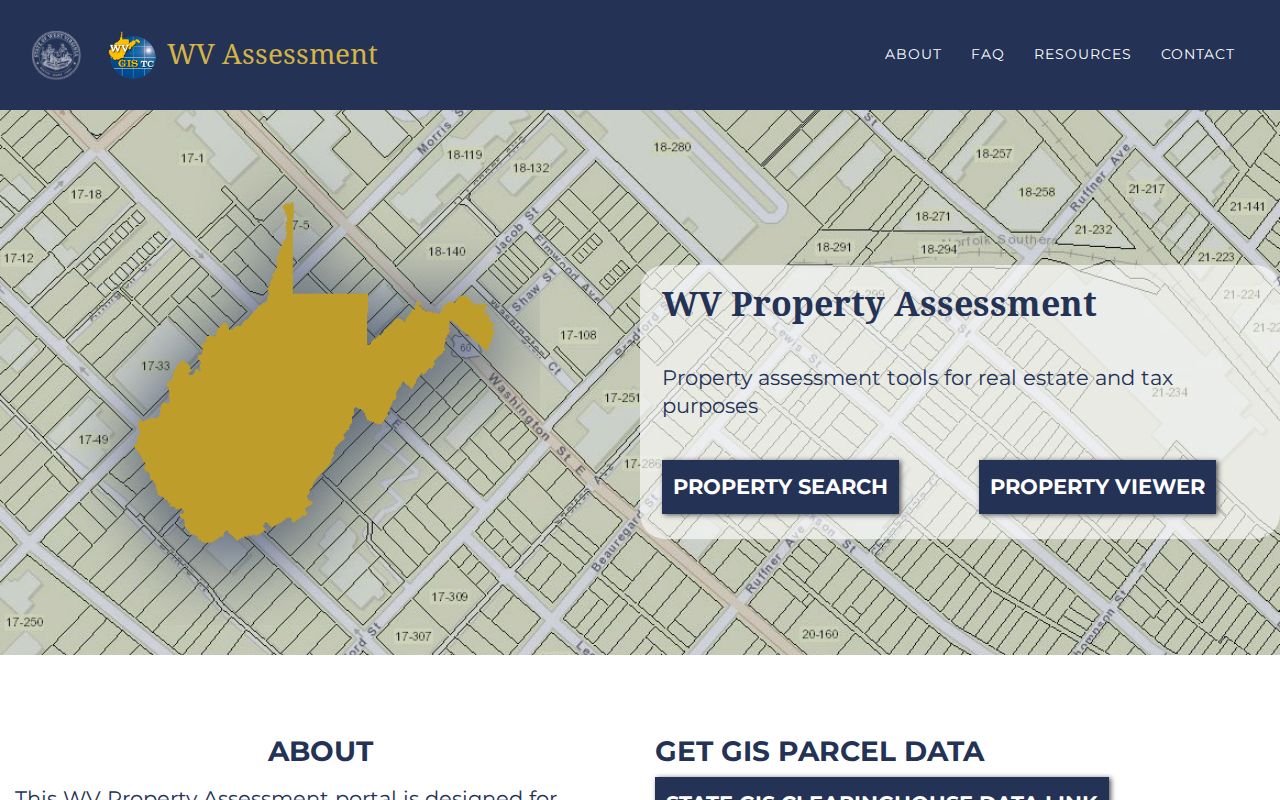
The state assessment viewer refreshes with each annual release. A recent ownership change may not yet appear on the public site. A new parcel line can take longer still. That timing matters when you compare sale history against assessment fields across years. It does not mean one figure is market value. Nor is an old number a current appraisal.
When a recent deed and the viewer disagree, keep the instrument date and the parcel description together. Ask the Assessor about the current card and map update. West Virginia notes that revised parcel lines may take up to two years after a transfer. That is map guidance, not an appraisal cycle or any promise about value. The WV update guidance explains the annual release. It also helps you tell a data-refresh lag from a price conclusion.
Compare the same parcel over time and keep the Viewer date with the value.
Hampshire Factors Behind a Value
The assessor card's property factors cover topography, utilities, street-road, traffic, land use, fronting, location, and fences. Those labels give a local window into the details attached to a rural Hampshire assessment. They do not reveal a full appraisal method. Nor do they fix the exact effect of any feature on an amount.
Treat the factor record as a prompt for a focused question to the Assessor. If a field seems wrong, cite the parcel ID. Also cite the label and the document or site feature that supports a review. One property card never proves a countywide trend.
What a Hampshire Assessment Cannot Say
The Hampshire County assessment is a number built for taxation. It tells you what the tax roll is charged against. It does not say what the market will pay. A sale price, an appraisal, and an assessed value can sit far apart. Each answers a different question. Condition, access, and improvements on a neighboring parcel may differ. The property records never spell out those differences. Hampshire County publishes no assessment ratio, revaluation year, or neighborhood trend in its public field list. So treat the assessor's figure as a starting point rather than a conclusion about value.
Value vs price. An assessed value in Hampshire County is not an offer, sale price, or appraisal. For a transaction or lending decision, obtain a current professional valuation suited to that purpose.